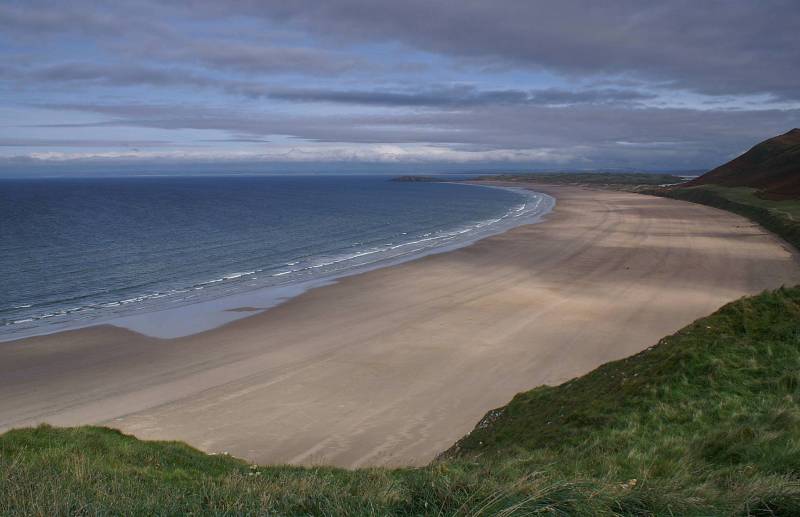
Rhossili Beach and Down including Worms Head.
Start. Rhossili.
Route. Rhossili - Worms Head Information Point - Rhossili - Rhossili Beach - Diles Lake - Hillend Campsite - Rhossili Down - Rhossili.
Notes. Until 1980 legend told of the old village of Rhossili built near the sea, houses and church were abandoned after a succession of devastating storms in the 13th century buried the village under drifting sand, the village was re-built on higher ground, come the 1980s and another great storm shifted the sand to reveal the preserved remains of buildings, fiction became fact.
Our route today is pretty straight forward, visit Worms Head then stroll across Rhossili Beach later to ascend Rhossili Down the highest land on Gower.
From the main car park we headed for Worms Head only to find the tide was rising, the causeway was impassable, never mind we retraced our steps then followed the way marked path down to the beach. Our route over the sands passed the gaunt remains of the Helvetia which ran aground in 1887, onward until a stream crossed the beach, here we turned inland passing through the dunes to reach the entrance to Hillend Campsite, to our right a path ascended the steep slopes of Rhossili Down, steep gets you up quickly, we were soon on the summit ridge. After pausing for a brew at the remains of a World War Two radar station we made our way to the summit, at just over 600ft the highest point on Gower, from the trig point we descended to Rhossili and journeys end.

A stunning view north across the beach at Rhossili.
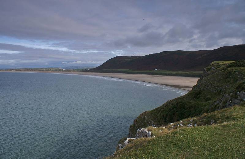
Looking to Rhossili Down the solitary white building is the Old Rectory.
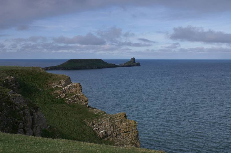
Worms Head.
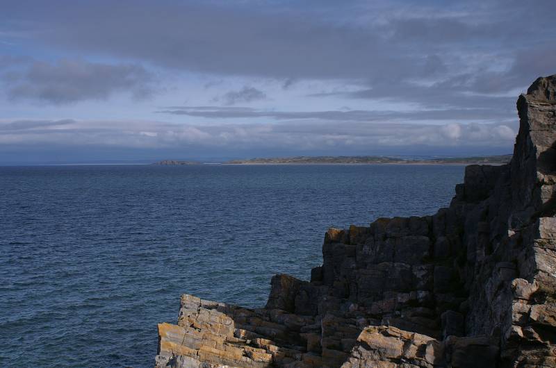
Heading to Worms Head with views across Rhossili Bay to the small tidal island of Burry Holms.
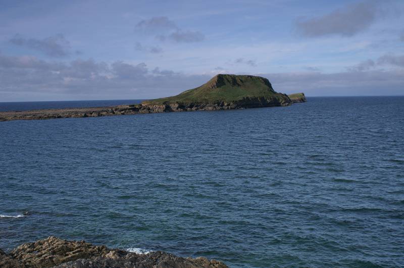
Worms Head stretching to the west.
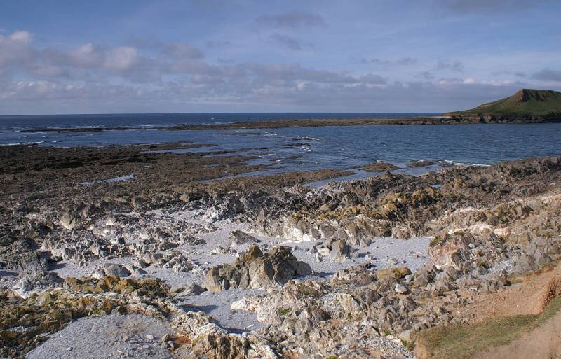
The causeway to Worms Head, there'll be no crossing today.
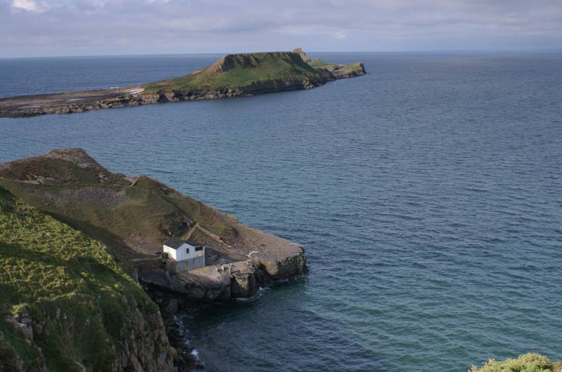
Looking down on the Kitchen Corner, a small limestone quarry from where limestone was shipped to Somerset and Devon, the building is an early 20th century boat house.
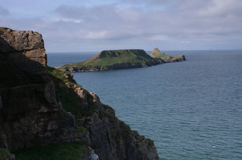
Further along the cliff edge and another view to Worms Head.
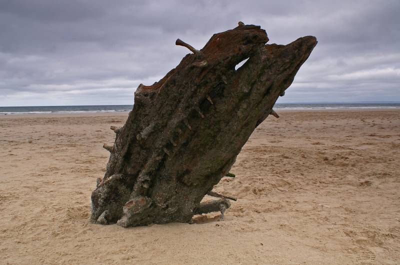
Like a prehistoric monster rising from the sand, the bones of the Helvetia.
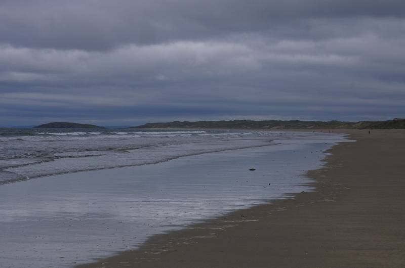
Walking north along the beach looking to Burry Holms.
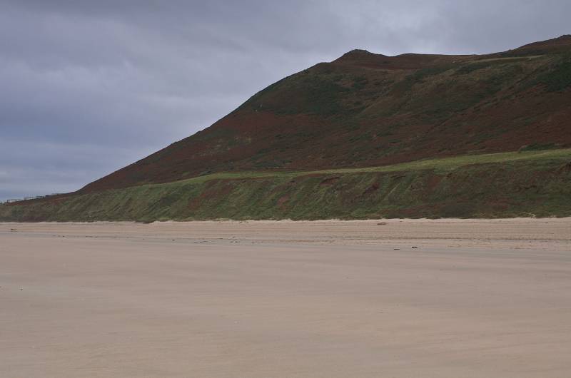
Looking up the steep slopes of Rhossili Down.
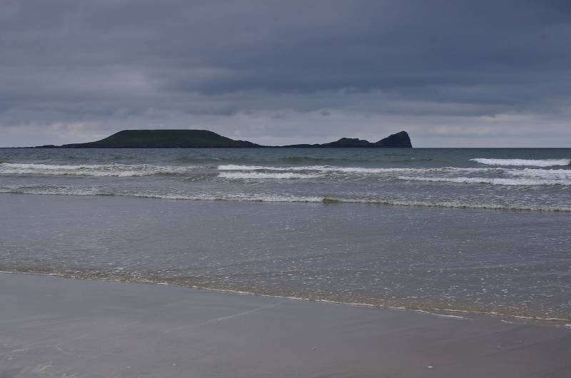
Worms Head across Rhossili Bay.
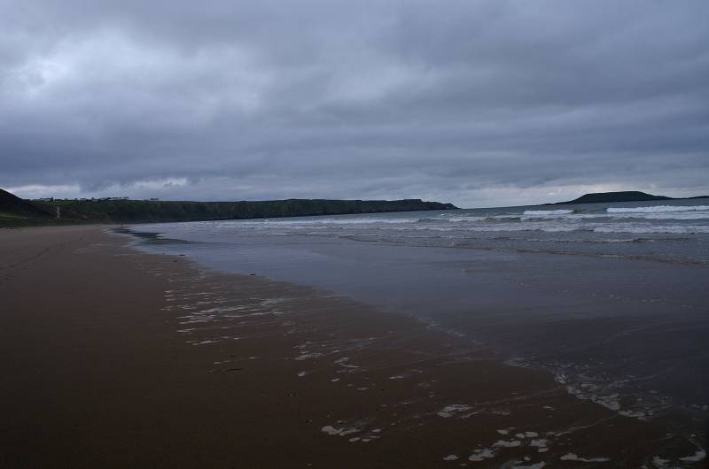
Looking back to Rhossili with Worms Head to the right.
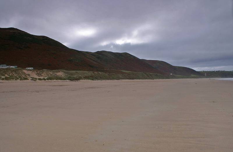
The long ridge of Rhossili Down at 633ft above sea level the highest point on Gower.
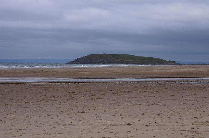
Burry Holms seen over Diles Lake.
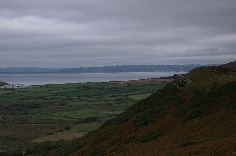
Looking across Carmarthen Bay.
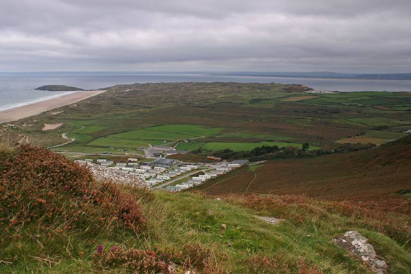
Seen over Hillend the extensive dune systems of Broughton and Llangennith Burrows.
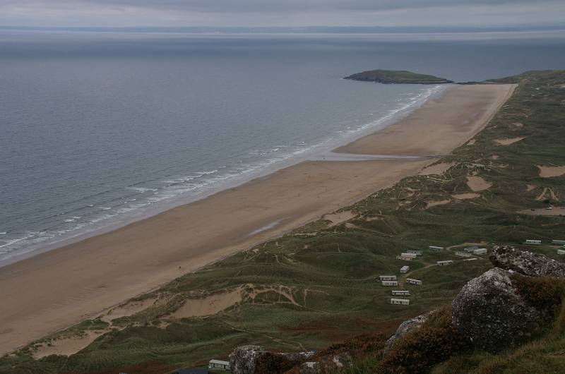
Seen from the remains of a wartime radar station Burry Holms marks the end of Rhossili Beach.
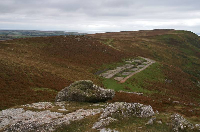
The remains of the radar station nestling under the ridge of Rhossili Down.
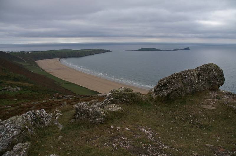
From the start of the ridge walk views to Worms Head.
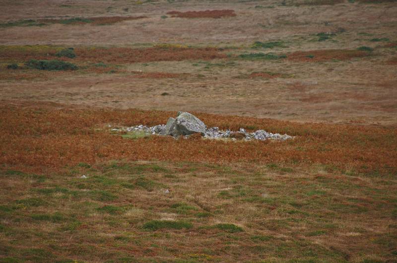
Sweyne's Howes Burial Chambers line the eastern slopes of Rhossili Down, here we have one of several.
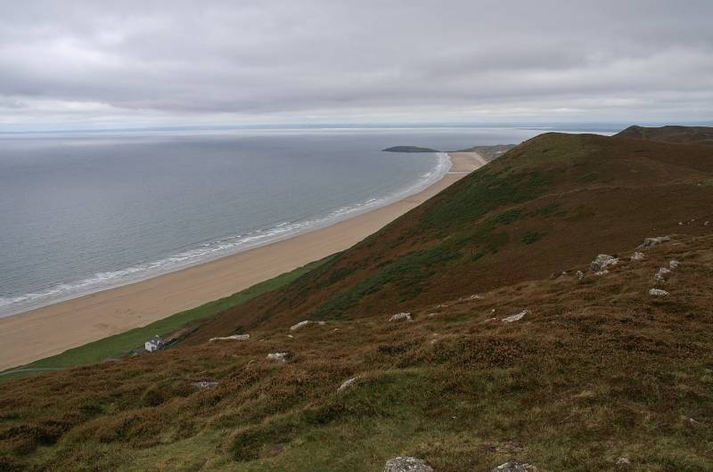
Nearing the summit with a stunning view to the north.
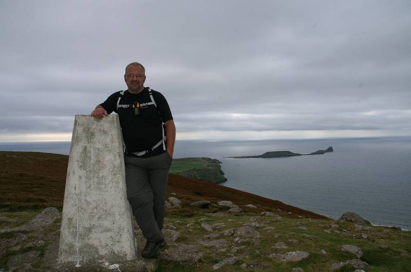
The highest person in Gower, at the trig point on Rhossili Down.